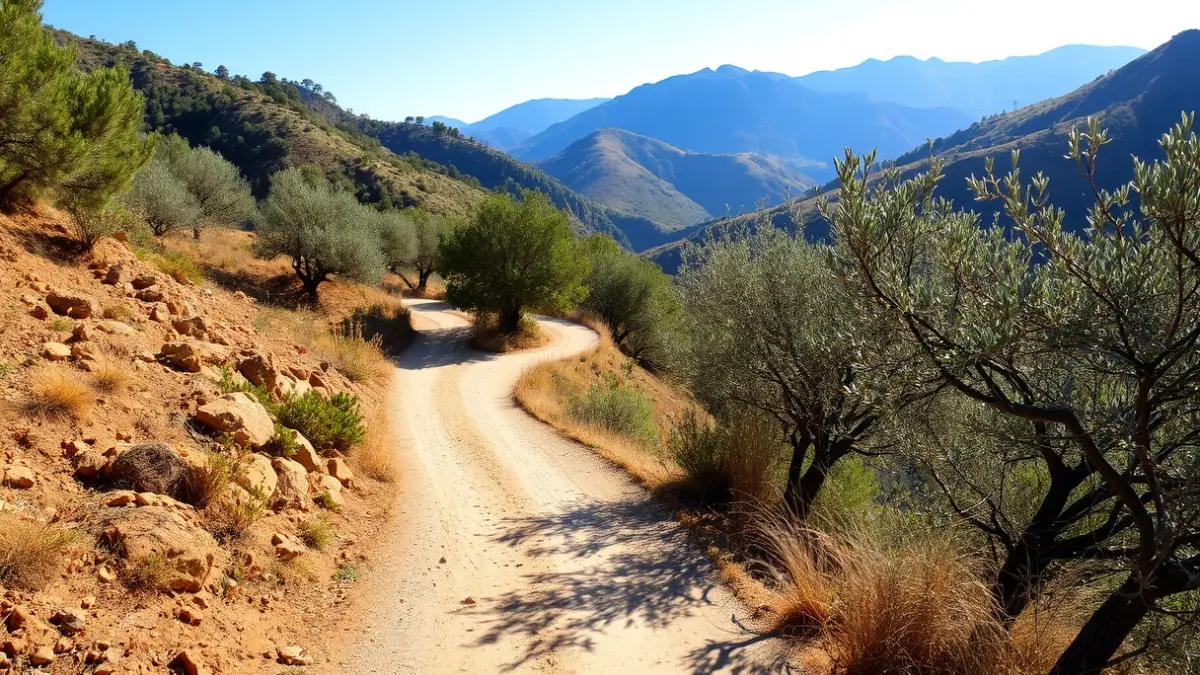
The itinerary, which combines uphill, downhill, and flat sections, runs through the outskirts of Zagrilla, passing by the Jardín Micológico la Trufa and through the streets of Zagrilla Baja. The contained length of the route helps balance the aerobic and respiratory effort required by the steeper areas.
After an initial descent on asphalt, the path leads into a rural track that marks the beginning of the most characteristic natural part of the route. During the ascent towards El Esparragal, hikers can enjoy views of the Priego de Córdoba mountain range, observing gorges, vulture nests, and rugged mountain formations, as well as agricultural landscapes with olive, almond, fig, and quince trees.
At approximately 4.5 kilometers, the halfway point is reached at the village of El Esparragal, and shortly after, the Esparragal viewpoint, a strategic point from which Priego de Córdoba, El Esparragal, and both Zagrilla villages are visible. The route continues uphill, passing by vulture nests where griffon vultures are commonly sighted, until reaching the highest point of the stage.
The route presents a medium-high technical difficulty due to the accumulated elevation gain and steep slopes, requiring a minimum of mountain hiking training. It is not recommended for children and is not considered a family-friendly route. Spring and autumn are the most advisable seasons to undertake this journey, due to milder temperatures.
“"The technical information for this route warns that a minimum of mountain hiking training is required and advises against bringing children, as it is not suitable for a family route due to the steep slopes and accumulated elevation gain."
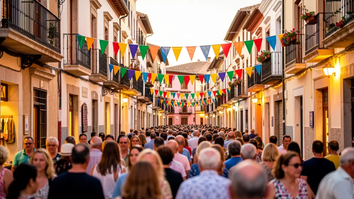
Priego de Córdoba, located in the southeast of the province, is part of the Sierras Subbéticas Natural Park, a protected area known for its karst geomorphology and rich biodiversity. The municipality boasts numerous villages and rural centers that maintain their traditional character, offering an extensive network of trails to explore its natural heritage.