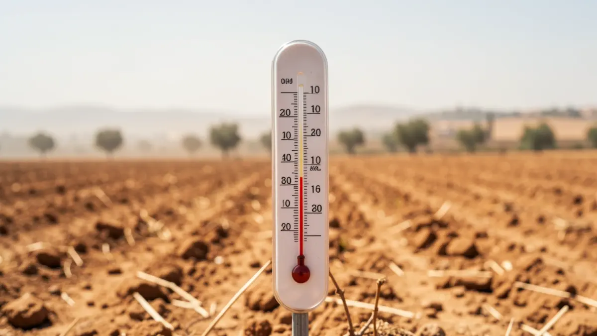
Climate specialists indicate a strong chance that the pattern known as El Niño will manifest in the coming months, with early signs suggesting a particularly high intensity. If this occurs, global temperatures could rise by approximately 0.2°C on average, intensifying extreme weather events worldwide.
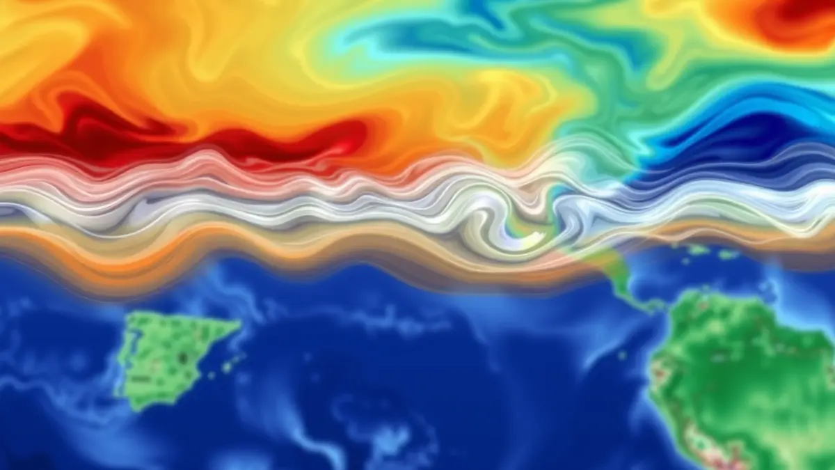
El Niño is part of a natural ocean-atmosphere interaction cycle, known as the ENSO cycle. This phenomenon occurs when surface waters in the central and eastern tropical Pacific Ocean become warmer than usual. Its counterpart, La Niña, which is still weakly present in the Pacific, has contributed to a temporary lowering of global temperatures, making 2025 cooler than 2024, the hottest year on record.
“"Even relatively small changes in ocean temperature can have a major impact on precipitation, drought, heat, and climate disasters."
During an El Niño event, weakened winds allow warm water to spread eastward, altering rainfall, storm patterns, and temperatures globally. A 'super El Niño' is a stronger version of this phenomenon, characterized by a temperature increase of at least 2°C above average. These events are rare but far more disruptive, with the last sustained period occurring between 2015 and 2016.
Scientists estimate there is approximately a 25% chance of such an event developing later this year, although forecasts made in spring can still change as conditions evolve. Current models suggest a 62% chance that El Niño will emerge this summer and persist at least until the end of 2026.
While this does not guarantee that Spain will experience its hottest summer on record, it does increase the likelihood of above-average temperatures during the summer season. However, the impact may be felt most acutely later in the year, as El Niño is linked to harsher winters across Europe, including Spain.