The weather front that has affected Granada over the weekend is in its final hours, bringing with it a notable drop in temperatures. Minimums are expected to barely exceed two degrees in some parts of the province, with the possibility of snowfall during the early hours of Sunday to Monday.
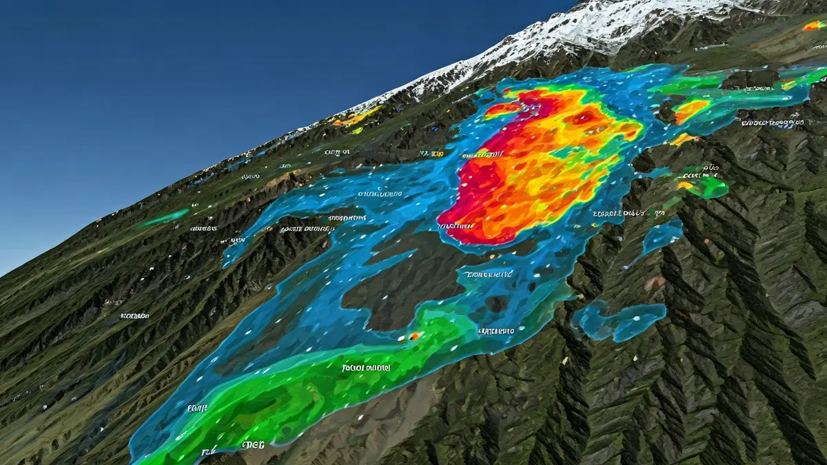
Aemet's yellow warnings remain active for Sunday. On the Coast, the alert is for rough seas, while in 48 municipalities of the Guadix and Baza regions, the warning is for heavy rain and thunderstorms. These alerts will be activated at two in the afternoon and will be in effect until midnight, with forecasts of up to 15 liters per square meter in one hour and very strong gusts of wind accompanying the storms.
During Sunday night and the early hours of Monday, snowflakes are expected to fall in some areas of the provincial interior. The snow level will drop significantly to 1,300 meters, which could affect towns such as Trevélez (with a 15% probability), Puebla de Don Fadrique (25%), or Diezma (85%). According to the Cetursa Sierra Nevada weather report, the snowfalls will be light and occasional.
This drop in temperatures will be more pronounced in the Sierra areas, with minimums of 2 degrees in Trevélez and 3 degrees in Puebla de Don Fadrique. Daytime maximums will range between 11 and 17 degrees inland, being milder on the Coast, where they could even exceed 20 degrees in towns such as Motril or Almuñécar.
Regarding the rainfall recorded on Saturday, the Cartuja station accumulated 20.2 liters per square meter, and the airport, 12.6 liters. Other points such as Canales (17.4 liters), río Dílar (17.9 liters), and Jérez del Marquesado (16.2 liters) also experienced significant rainfall. The instability has led reservoirs such as Quéntar, Canales, Cubillas, and Colomera to intensify their discharges. In addition, the calima episode has ended, according to data from the Barcelona Dust Regional Center.