AlmeríaCádizCórdobaGranadaHuelvaJaénMálagaSevillaAlpujarra AlmerienseLos VélezComarca Metropolitana de AlmeríaFilabres-TabernasLevante AlmeriensePoniente AlmerienseValle del AlmanzoraBahía de CádizCampiña de JerezCampo de GibraltarCosta NoroesteLa JandaSierra de CádizAlto GuadalquivirCampiña de BaenaCampiña Sur CordobesaLos PedrochesCórdoba (comarca)SubbéticaValle del GuadiatoValle Medio del GuadalquivirAlpujarra GranadinaComarca de AlhamaComarca de BazaComarca de GuadixComarca de HuéscarComarca de LojaCosta GranadinaLos MontesValle de LecrínVega de GranadaEl AndévaloEl Condado de HuelvaCosta OccidentalCuenca MineraComarca Metropolitana de HuelvaSierra de HuelvaÁrea Metropolitana de JaénCampiña de JaénEl Condado (Jaén)La LomaSierra de CazorlaSierra MáginaSierra MorenaSierra de SeguraSierra Sur de JaénLas VillasComarca de AntequeraLa AxarquíaGuadaltebaCosta del Sol OccidentalMálaga Costa del SolNorormaValle del GuadalhorceSerranía de RondaSierra de las NievesAljarafeBajo GuadalquivirCampiña de CarmonaCampiña de Morón y MarchenaComarca de ÉcijaComarca Metropolitana de SevillaSierra Norte de SevillaSierra Sur de SevillaVega del GuadalquivirAlmeríaCádizCórdobaGranadaHuelvaJaénMálagaSevillaAlpujarra AlmerienseLos VélezComarca Metropolitana de AlmeríaFilabres-TabernasLevante AlmeriensePoniente AlmerienseValle del AlmanzoraBahía de CádizCampiña de JerezCampo de GibraltarCosta NoroesteLa JandaSierra de CádizAlto GuadalquivirCampiña de BaenaCampiña Sur CordobesaLos PedrochesCórdoba (comarca)SubbéticaValle del GuadiatoValle Medio del GuadalquivirAlpujarra GranadinaComarca de AlhamaComarca de BazaComarca de GuadixComarca de HuéscarComarca de LojaCosta GranadinaLos MontesValle de LecrínVega de GranadaEl AndévaloEl Condado de HuelvaCosta OccidentalCuenca MineraComarca Metropolitana de HuelvaSierra de HuelvaÁrea Metropolitana de JaénCampiña de JaénEl Condado (Jaén)La LomaSierra de CazorlaSierra MáginaSierra MorenaSierra de SeguraSierra Sur de JaénLas VillasComarca de AntequeraLa AxarquíaGuadaltebaCosta del Sol OccidentalMálaga Costa del SolNorormaValle del GuadalhorceSerranía de RondaSierra de las NievesAljarafeBajo GuadalquivirCampiña de CarmonaCampiña de Morón y MarchenaComarca de ÉcijaComarca Metropolitana de SevillaSierra Norte de SevillaSierra Sur de SevillaVega del Guadalquivir

Scientists Name Invisible Territory Under Almería's Sea

A pioneering study has cataloged over 400 underwater reliefs in Spanish waters, including dozens off the coast of Almería.

Image of a seabed with underwater geological reliefs.
IA

Image of a seabed with underwater geological reliefs.

A recent scientific study has successfully identified and organized more than 400 underwater reliefs in Spanish waters, with a significant portion located off the coast of Almería, bringing order to a previously undefined territory.

The seabed off Almería, previously a geographical space without clear designation, has been the subject of extensive research. This work has allowed for the cataloging of hundreds of geological formations that were previously scattered, duplicated, or unnamed in various databases.
The research, published in the journal Estudios Geográficos, compiled a total of 443 underwater reliefs in Spanish waters. Of these, 124 are specifically located in the demarcation of the Strait and the Alboran Sea, an area directly encompassing the Almerian coast. This work represents the most comprehensive compilation to date on the relief of the seabed in Spain.
Off the coast of Almería, the study has identified very specific structures that now have a defined name. These include the Almería Canyon, the Almería turbidite channel, and the submarine fan. Formations linked to river sediments, such as the Andarax prodelta, have also been named.
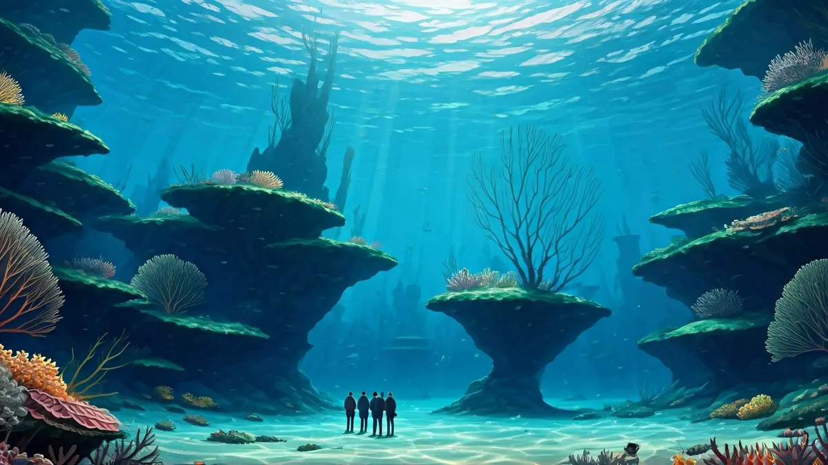
Other relevant points identified include the Gata ravine and the Cabo de Gata promontory. These designations are crucial for understanding the organization of the submarine relief in this section of the western Mediterranean. Although these forms are not visible from the surface, they are fundamental to the structure of the seabed and influence currents, sediments, and local ecosystems.
The study not only collected existing names but also detected inconsistencies, such as the appearance of the same place with different names depending on the source, or the complete absence of a designation. This lack of uniformity significantly hindered scientific work and marine cartography.
The main objective of this research has been precisely to organize and unify the information. Researchers have reviewed international databases, cartographic viewers, and scientific publications, integrating all data into a single system that allows for the precise location and naming of each relief. The result is an open database that will facilitate future consultations and expansions, establishing clear criteria for assigning names, from geographical references to cultural or scientific elements.