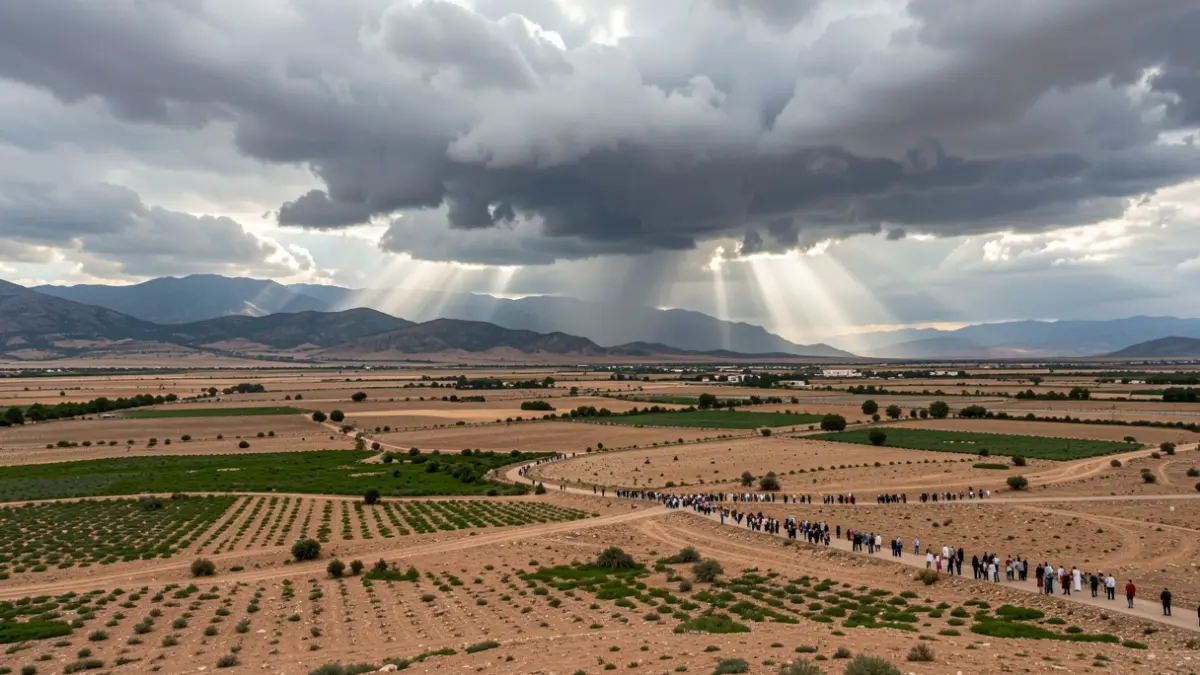
The State Meteorological Agency (AEMET) has activated yellow alerts this Monday in the Campiña gaditana, Grazalema, Ronda, Los Pedroches, and the entirety of the province of Jaén due to the high probability of storms. These meteorological phenomena could be accompanied by hail and strong wind gusts until the end of the day.
In the regions of Cádiz and Málaga, a rain warning has been added, with the possibility of exceeding 15 liters per square meter in one hour. These figures were already recorded last Saturday in towns along the Costa del Sol, Axarquía, and the metropolitan area of Granada, where a downpour surprised residents.
Meteorological instability will extend throughout the week in Andalusia. According to forecasts from the European Centre for Medium-Range Weather Forecasts, summer storms will once again take center stage on Wednesday in Granada and in inland areas of the eastern half of Andalusia, particularly from the afternoon onwards.
The most significant episode is expected for Thursday, when storms and precipitation could affect large areas of the Andalusian territory. They are predicted to reach even water-scarce areas, such as the interior of Huelva, where a large operation is underway to control the Niebla forest fire, which has already become the largest in Andalusia after devouring 33,000 hectares.
On Friday, the probability of storms will shift to western Andalusia, Seville, and areas of the Strait. However, the evolution of forecasts for the weekend will require updates from the European model.
Regarding temperatures, AEMET has activated warnings for high temperatures this Monday in the campiña sevillana, Córdoba, and Jaén (except the capital and Jaén's mountains), the Cuenca del Genil, and Poniente and Almería Capital. In the Guadalquivir Valley, temperatures could reach 40 degrees Celsius, triggering a orange alert until 9:00 PM. In other warned areas, temperatures will hover around 38 degrees Celsius.