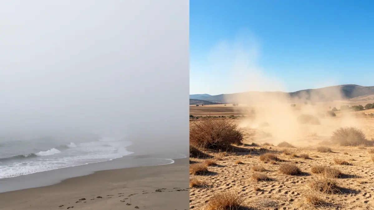
The coast of Málaga, from Rincón de la Victoria to Marbella, awoke shrouded in a thick layer of fog, a phenomenon known as 'taro'. This coastal meteorological event occurs due to the thermal shock between the sea water, still cool in summer, and a warm breeze from the south-southeast that condenses the humidity.
Meteorologist José Luis Escudero explains that this phenomenon is relatively common during the summer months and that, as the morning progresses, the mist tends to dissipate, leading to a rise in temperatures on the coast.
“"This phenomenon occurs when the sea water temperature is cool and a warm breeze from the south-southeast passes over it. This grazes the surface and the water condenses into fog."
In stark contrast, the interior of the province is bracing for a day of intense heat. The State Meteorological Agency (Aemet) has activated a yellow alert for high temperatures in the Antequera region, with thermometers potentially reaching 38 degrees Celsius between 1:00 PM and 9:00 PM. This alert, which was also in effect on Friday, particularly affects municipalities such as Villanueva de Algaidas, Fuente de Piedra, and Alameda.
In other areas of the province, predicted highs will be around 35 degrees in Ronda and 36 in the Guadalhorce Valley. On the coast, the heat will be more moderate, with approximately 33 degrees in Estepona and 28 in Fuengirola.
Other Andalusian provinces are also on alert. Córdoba, Huelva, Jaén, and Seville are under a orange alert for heat, with highs nearing 40 degrees Celsius, while Cádiz, Granada, and Málaga remain at yellow level.
The forecast for Sunday does not anticipate significant changes, and high temperatures are expected to persist in much of the province, potentially lasting until the middle of next week.