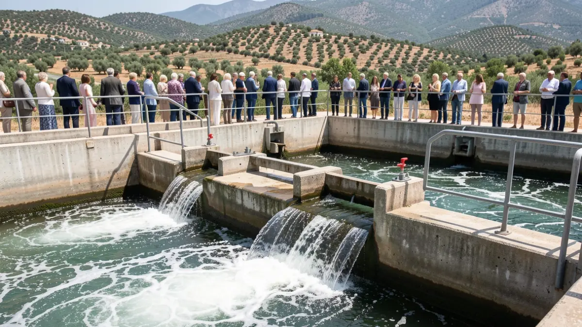

These figures underscore the growing interest in hydrological information within the basin and the consolidation of SAIH as an essential platform for monitoring rainfall, river flows, and reservoir levels.
A significant peak in activity occurred in January and February 2026, with nearly 4 million views, coinciding with storm episodes and intense rainfall in the basin. This highlights the importance of having updated data during heavy rain situations.
Consultation data from the past two years shows an upward trend. In 2025, the portal recorded nearly six million visits, and in the first eleven months of 2026, over 6 million have already been counted, surpassing the total figure for the previous year.
Among the most consulted content are the rainfall map, flow measurements, historical data, and information on reservoir levels, all crucial tools for tracking precipitation, river flows, and water reserves in the basin.
The user support service handled 65 data requests and 87 inquiries in 2026, with prompt response times, demonstrating efficiency in addressing information demands.
Operational since 1998, the SAIH of the Guadalquivir is a key tool for water management, providing real-time information on rainfall, river flows, and reservoir status, vital for flood management and water resource planning.
The development of SAIH is part of a modernization process for hydrological management initiated in Spain in 1983. The Guadalquivir Hydrographic Confederation implemented its own system between 1994 and 1998, deploying a network of control and communication stations that has been expanded and technologically improved ever since.