AlmeríaCádizCórdobaGranadaHuelvaJaénMálagaSevillaAlpujarra AlmerienseLos VélezComarca Metropolitana de AlmeríaFilabres-TabernasLevante AlmeriensePoniente AlmerienseValle del AlmanzoraBahía de CádizCampiña de JerezCampo de GibraltarCosta NoroesteLa JandaSierra de CádizAlto GuadalquivirCampiña de BaenaCampiña Sur CordobesaLos PedrochesCórdoba (comarca)SubbéticaValle del GuadiatoValle Medio del GuadalquivirAlpujarra GranadinaComarca de AlhamaComarca de BazaComarca de GuadixComarca de HuéscarComarca de LojaCosta GranadinaLos MontesValle de LecrínVega de GranadaEl AndévaloEl Condado de HuelvaCosta OccidentalCuenca MineraComarca Metropolitana de HuelvaSierra de HuelvaÁrea Metropolitana de JaénCampiña de JaénEl Condado (Jaén)La LomaSierra de CazorlaSierra MáginaSierra MorenaSierra de SeguraSierra Sur de JaénLas VillasComarca de AntequeraLa AxarquíaGuadaltebaCosta del Sol OccidentalMálaga Costa del SolNorormaValle del GuadalhorceSerranía de RondaSierra de las NievesAljarafeBajo GuadalquivirCampiña de CarmonaCampiña de Morón y MarchenaComarca de ÉcijaComarca Metropolitana de SevillaSierra Norte de SevillaSierra Sur de SevillaVega del GuadalquivirAlmeríaCádizCórdobaGranadaHuelvaJaénMálagaSevillaAlpujarra AlmerienseLos VélezComarca Metropolitana de AlmeríaFilabres-TabernasLevante AlmeriensePoniente AlmerienseValle del AlmanzoraBahía de CádizCampiña de JerezCampo de GibraltarCosta NoroesteLa JandaSierra de CádizAlto GuadalquivirCampiña de BaenaCampiña Sur CordobesaLos PedrochesCórdoba (comarca)SubbéticaValle del GuadiatoValle Medio del GuadalquivirAlpujarra GranadinaComarca de AlhamaComarca de BazaComarca de GuadixComarca de HuéscarComarca de LojaCosta GranadinaLos MontesValle de LecrínVega de GranadaEl AndévaloEl Condado de HuelvaCosta OccidentalCuenca MineraComarca Metropolitana de HuelvaSierra de HuelvaÁrea Metropolitana de JaénCampiña de JaénEl Condado (Jaén)La LomaSierra de CazorlaSierra MáginaSierra MorenaSierra de SeguraSierra Sur de JaénLas VillasComarca de AntequeraLa AxarquíaGuadaltebaCosta del Sol OccidentalMálaga Costa del SolNorormaValle del GuadalhorceSerranía de RondaSierra de las NievesAljarafeBajo GuadalquivirCampiña de CarmonaCampiña de Morón y MarchenaComarca de ÉcijaComarca Metropolitana de SevillaSierra Norte de SevillaSierra Sur de SevillaVega del Guadalquivir

Slow Water Recovery at Cabo de Gata Salt Flats Threatens Bird Breeding

Despite completed infrastructure works, the Almería wetland faces a water deficit severely impacting local wildlife.

Image of the Cabo de Gata Salt Flats with low water levels and birds on sandbanks.
IA

Image of the Cabo de Gata Salt Flats with low water levels and birds on sandbanks.

The recovery of the Cabo de Gata Salt Flats in Almería is progressing slower than anticipated, with a water deficit endangering the bird breeding season and the survival of species like flamingos.

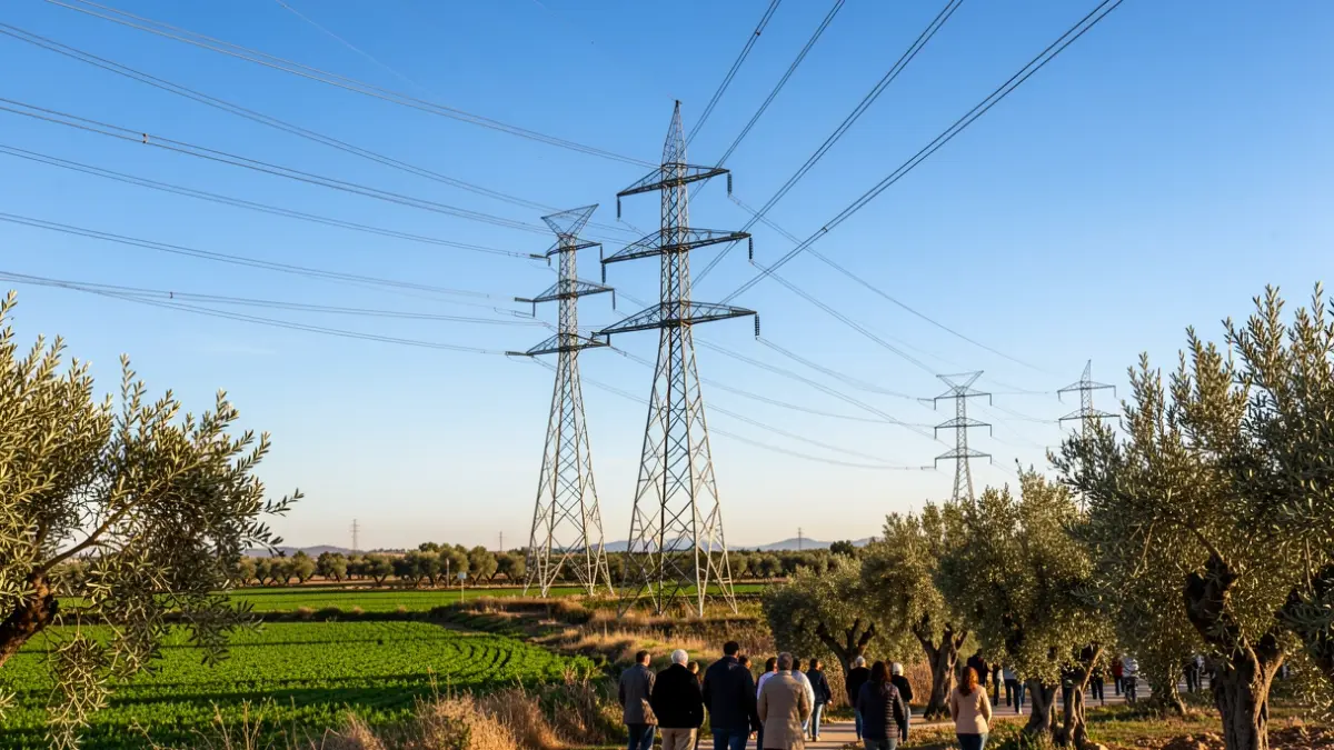
Although the canalization system works have concluded and water flow has been restored, the accumulated dryness in the terrain is absorbing the water. It is estimated that the wetland will take one to two months to reach optimal levels for the bird breeding period.
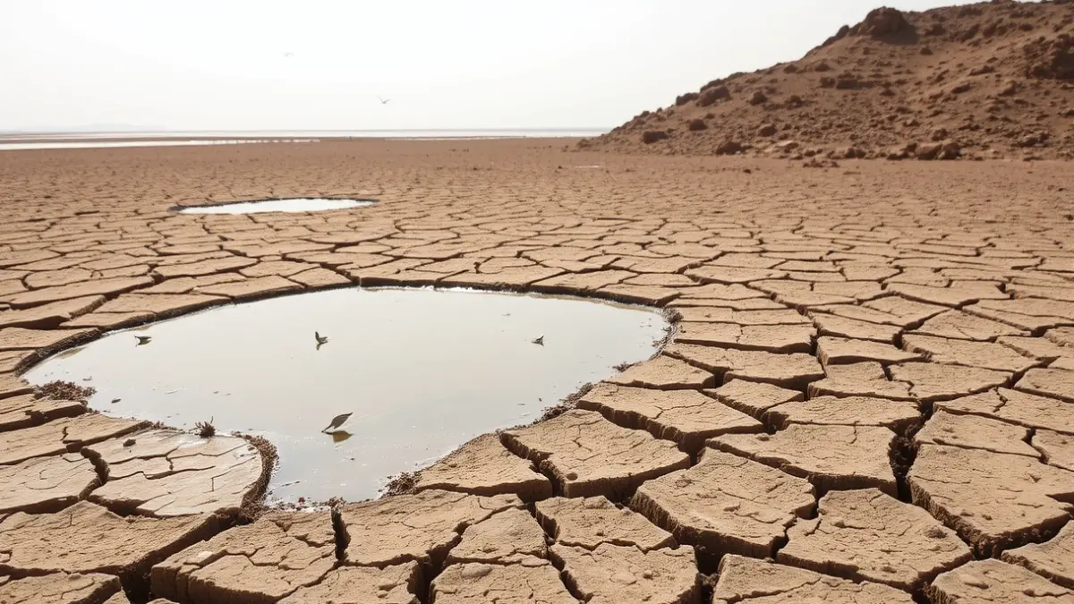
Currently, the water sheet shows a deficit of about 40 centimeters in height. This critical situation is evident in species like the common tern or gull-billed terns, which are perching on sandbanks in areas that should be submerged. This hydrological imbalance has caused a drastic decline in the bird population; in March, around 800 flamingos were counted, while current censuses barely register 132 specimens.

"The concentrator areas, where waders usually breed, remain completely dry, and in the heaters, the situation is no better for black-winged stilts."

an observer and expert
To understand the situation, it is crucial to know that the Cabo de Gata Salt Flats function like a water staircase, divided into four interdependent sectors. The current problem is that the water has not yet ascended all the “steps.” The evaporators, the lowest area, are in an acceptable state and serve as the entry point for fresh marine nutrients, concentrating the remaining flamingos.
However, the critical problem lies in the heaters, two gigantic ponds that barely hold 8 centimeters of water, when their optimal level should be between 50 and 60 centimeters. This lack of depth prevents birds from feeding, as their beaks hit the sandy bottom. Above them, the concentrators, located half a meter higher, remain completely dry, affecting smaller species like terns.
The scenario also presents a difficult dilemma: a late influx of water could be as detrimental as its absence. If the water level rises suddenly now, when some waders are trying to use the few available spaces to lay their eggs, these eggs risk being flooded. With the evaporators filling slowly and the crystallizers practically barren, the Salt Flats face a challenging season for biodiversity, where the infrastructure may have arrived in time to save the ecosystem long-term, but perhaps too late to protect this spring's reproductive cycle. It is estimated that the water will be at full capacity by June.