AlmeríaCádizCórdobaGranadaHuelvaJaénMálagaSevillaAlpujarra AlmerienseLos VélezComarca Metropolitana de AlmeríaFilabres-TabernasLevante AlmeriensePoniente AlmerienseValle del AlmanzoraBahía de CádizCampiña de JerezCampo de GibraltarCosta NoroesteLa JandaSierra de CádizAlto GuadalquivirCampiña de BaenaCampiña Sur CordobesaLos PedrochesCórdoba (comarca)SubbéticaValle del GuadiatoValle Medio del GuadalquivirAlpujarra GranadinaComarca de AlhamaComarca de BazaComarca de GuadixComarca de HuéscarComarca de LojaCosta GranadinaLos MontesValle de LecrínVega de GranadaEl AndévaloEl Condado de HuelvaCosta OccidentalCuenca MineraComarca Metropolitana de HuelvaSierra de HuelvaÁrea Metropolitana de JaénCampiña de JaénEl Condado (Jaén)La LomaSierra de CazorlaSierra MáginaSierra MorenaSierra de SeguraSierra Sur de JaénLas VillasComarca de AntequeraLa AxarquíaGuadaltebaCosta del Sol OccidentalMálaga Costa del SolNorormaValle del GuadalhorceSerranía de RondaSierra de las NievesAljarafeBajo GuadalquivirCampiña de CarmonaCampiña de Morón y MarchenaComarca de ÉcijaComarca Metropolitana de SevillaSierra Norte de SevillaSierra Sur de SevillaVega del GuadalquivirAlmeríaCádizCórdobaGranadaHuelvaJaénMálagaSevillaAlpujarra AlmerienseLos VélezComarca Metropolitana de AlmeríaFilabres-TabernasLevante AlmeriensePoniente AlmerienseValle del AlmanzoraBahía de CádizCampiña de JerezCampo de GibraltarCosta NoroesteLa JandaSierra de CádizAlto GuadalquivirCampiña de BaenaCampiña Sur CordobesaLos PedrochesCórdoba (comarca)SubbéticaValle del GuadiatoValle Medio del GuadalquivirAlpujarra GranadinaComarca de AlhamaComarca de BazaComarca de GuadixComarca de HuéscarComarca de LojaCosta GranadinaLos MontesValle de LecrínVega de GranadaEl AndévaloEl Condado de HuelvaCosta OccidentalCuenca MineraComarca Metropolitana de HuelvaSierra de HuelvaÁrea Metropolitana de JaénCampiña de JaénEl Condado (Jaén)La LomaSierra de CazorlaSierra MáginaSierra MorenaSierra de SeguraSierra Sur de JaénLas VillasComarca de AntequeraLa AxarquíaGuadaltebaCosta del Sol OccidentalMálaga Costa del SolNorormaValle del GuadalhorceSerranía de RondaSierra de las NievesAljarafeBajo GuadalquivirCampiña de CarmonaCampiña de Morón y MarchenaComarca de ÉcijaComarca Metropolitana de SevillaSierra Norte de SevillaSierra Sur de SevillaVega del Guadalquivir

Málaga Unblocks Rojas Santa Tecla Development with Nearly 3,000 Homes and Golf Course

The Málaga City Council takes a crucial step to resolve the legal deadlock of an urban project planned three decades ago in Churriana.

Aerial view of a plot in Málaga planned for a new housing development and golf course.
IA

Aerial view of a plot in Málaga planned for a new housing development and golf course.

The Málaga City Council, through its Urban Planning Governing Council, is set to approve a key step that will allow the construction of nearly 3,000 homes and a golf course in the Rojas Santa Tecla development, located in the Churriana district, after decades of legal stagnation.

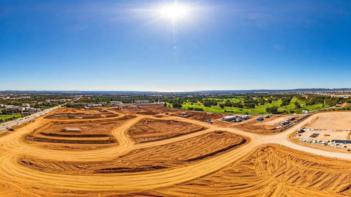
This Friday, the Urban Planning Governing Council of Málaga is expected to greenlight an essential procedure for the redistribution of the Rojas-Santa Tecla sector. This decision aims to resolve a prolonged "legal entanglement" that has kept the development of this area paralyzed for years, despite being included in the 1997 General Urban Planning Plan (PGOU).
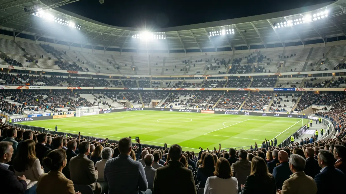
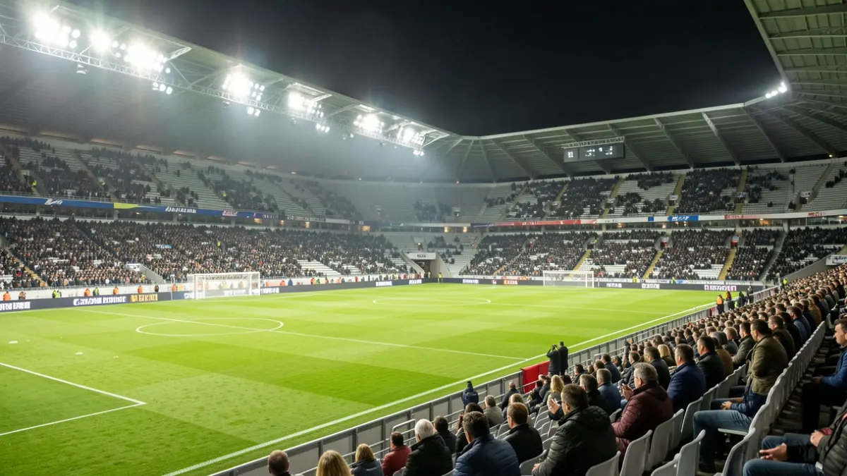
The project envisions the construction of 2,847 homes and an 18-hole golf course, covering approximately 500,000 square meters. Additionally, 300,000 square meters will be allocated to green areas. The estimated investment for the urbanization alone exceeds 50 million euros, with a projected completion time of 28 months.
The initiative, which borders Torremolinos within the Churriana district, also includes the creation of over 92,000 square meters for facilities, distributed as 22,784.53 square meters for sports facilities, 45,690.26 square meters for school facilities, and 24,207.48 square meters for social use. Furthermore, new roads totaling 244,172 meters will be built, and a commercial buildable area of 11,719 square meters is planned.
For the irrigation of the golf course and green areas, a connection to the Guadalhorce Wastewater Treatment Plant (EDAR) has been planned, ensuring the use of reclaimed water. Before obtaining building permits, the project will require authorizations from Adif and the Ministry of Transport, due to the need for pipelines to cross roads and railway lines.
Among the external actions to be carried out by the developers, these include the diversion of the Borres-Romero Canal, the provision of a new potable water reservoir with a capacity of 7,000 cubic meters, a new external sewage collector, and the expansion of the tertiary treatment system of the Guadalhorce EDAR. Additionally, archaeological studies will be conducted in the sites of Camino de Velarde, Monsálvez, Rojas, and Cortijo de Mazas, as well as in San Miguel, all already approved by the Junta de Andalucía.