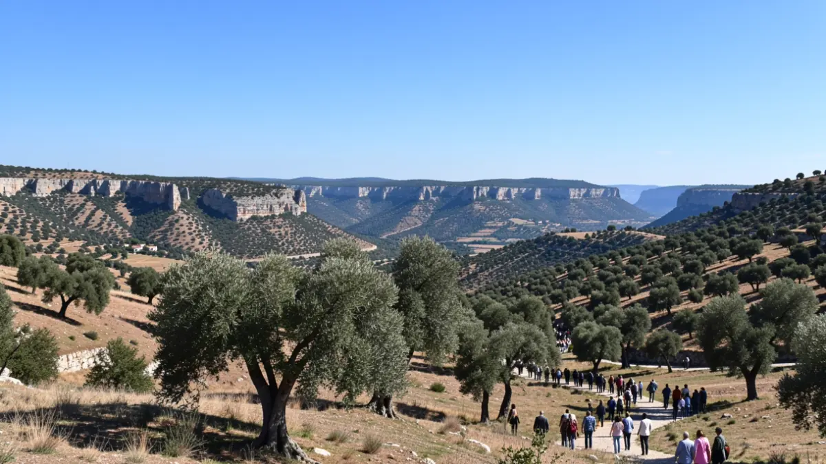
The route begins at the Fuente y el Lavadero area in Jimera de Líbar. From this point, the path enters the Monte Público la Dehesa, a space characterized by cork and holm oak forests. During the first few kilometers, hikers can observe recreational areas and livestock farmhouses, as well as wetlands that serve as a refuge for various amphibian species.
As the route progresses towards kilometer 7.4, the landscape opens up into more clayey and open terrain. In this sector, the Laguna Honda or Florida is located, a site of natural interest. The trail continues through the dehesas of Benadalid and Benalauría, passing through the village of Siete Pilas, where the Ermita Escuela del obispo Herrera Oria is located.
The final stretch of the route ascends towards the Puerto de Benalauría, located 12.2 kilometers from the start. From this high point, it is possible to contemplate the Guadiaro and Genal valleys. The descent towards the town center of Benalauría is made via a track that connects with the forest trail network, ending the stage at Plaza del Teniente Viñas.