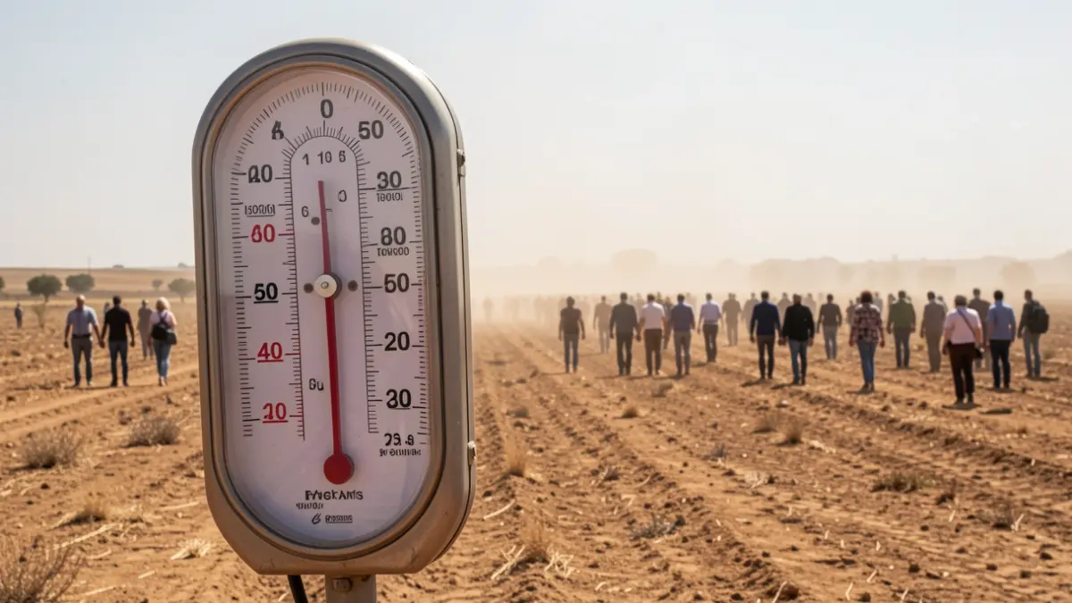
After a weekend with unusually high temperatures, exceeding 30º C and allowing the first swims on the beaches, the weather in Granada will experience a notable deterioration. This Wednesday and Thursday will maintain clear skies and the presence of Saharan dust (calima), although some storms are expected in areas like Baza and Guadix.
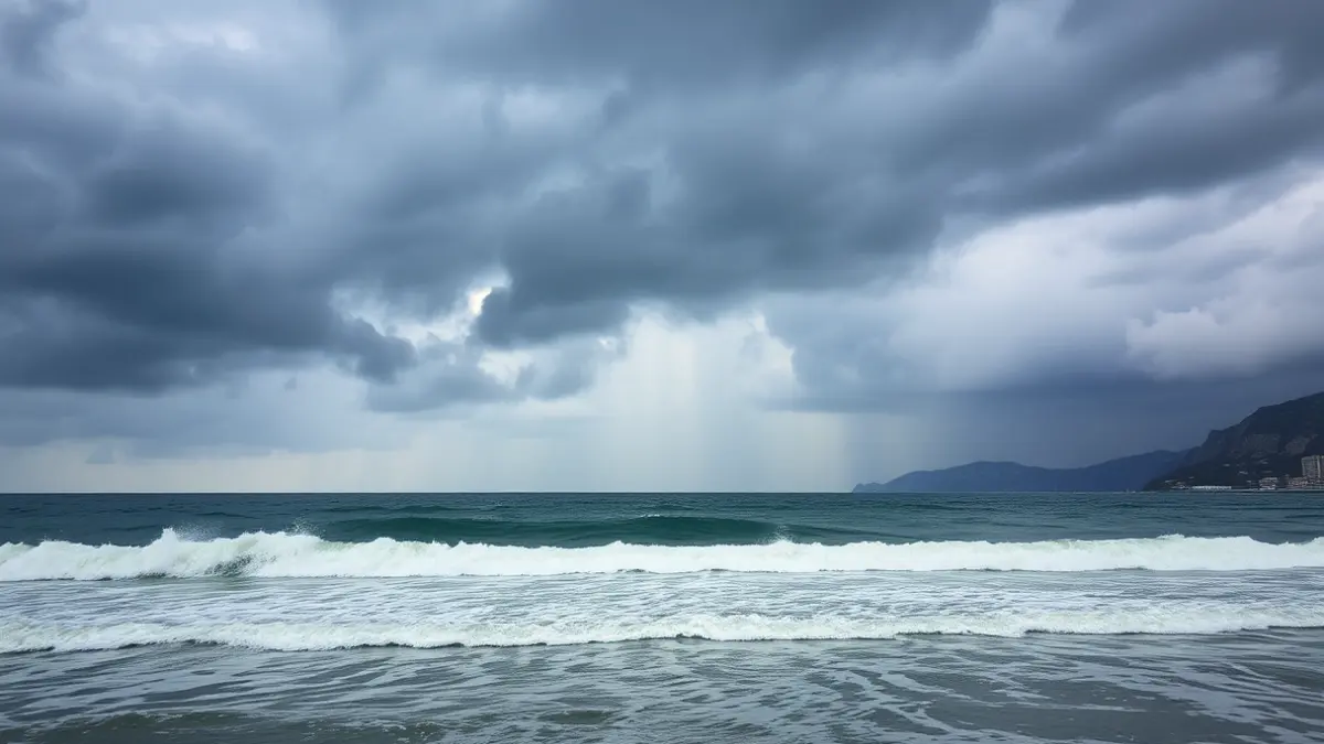
However, the situation will change drastically from Friday onwards. An Atlantic trough, an area of low atmospheric pressure, will detach west of the Peninsula, potentially causing a DANA that would directly affect the province of Granada. This will lead to a drop in maximum temperatures to around 25º C and minimums around 10º C.
Rain and storms will spread throughout the province from Friday morning, and due to the calima, they will leave a characteristic muddy residue. On Saturday, temperatures will continue to fall, reaching maximums of 21º C, and more storms are expected, especially in the afternoon and evening. By Sunday, a respite is anticipated, with skies clearing and temperatures on the rise again.