The mayor of Puente Genil, Sergio Velasco, presented this Wednesday the draft route that will connect the municipality's urban area with the Olive Oil Greenway. The local leader described the initiative as "one of the strategic projects launched in the town."
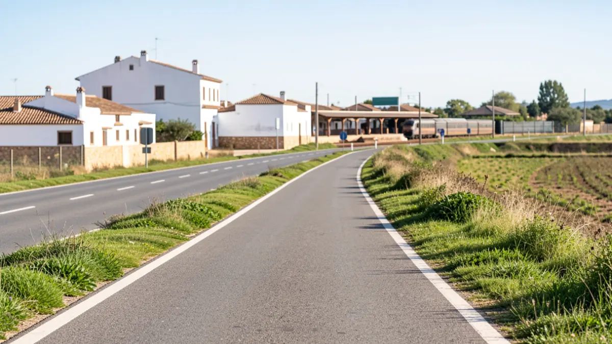
The route, which will be "slightly over 4 kilometers" long, will start from the old train station and run parallel to the A-318 road to the Campo Real station. The Puente Genil council has been working on this project for months, in collaboration with the Provincial Council of Córdoba, with the aim of improving accessibility and safety.
As explained by Velasco, the existing wall near the old Puente Genil railway station will be removed to create a passage parallel to the sidewalk, leading to the Los Trujales curve. Subsequently, the itinerary will skirt the Los Trujales plot until it meets the road to Lucena, reaching the building of the Patrimonio Comunal Olivarero.
The route will continue parallel to the Genil–Cabra irrigation canal, crossing it at an intermediate point between the railway bridge and a junction, before rejoining the road to Lucena. It will proceed via the Cañada de la Plata crossing and end alongside the road to Jauja, connecting with the Campo Real station.
The mayor highlighted the project's "transformative" nature, both for tourism and leisure, as well as for the environment. The next step will be to submit the project to ADIF and the CHG for the necessary authorizations. Velasco emphasized that it is "a project in execution with economically viable solutions."
The Olive Oil Greenway is one of the longest hiking and cycling routes in Córdoba, spanning over 100 kilometers, with about 60 kilometers passing through the Subbética and Campiña Sur regions. The route offers views of the landscapes of the Sierra Subbética Natural Park and the Laguna del Salobral Natural Reserve, passing through municipalities such as Doña Mencía, Zuheros, Cabra, Lucena, Moriles, and Aguilar de la Frontera.