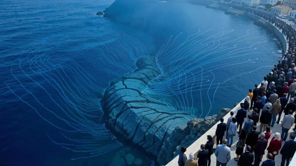
A geological fracture beneath the Alboran Sea has once again focused attention on the coast of Almería. The research, published in the journal Pure and Applied Geophysics, simulates the consequences of a magnitude 7 (Mw 7.0) earthquake on the Averroes fault, concluding that the western part of Almería would be the area in Spain where the phenomenon would hit with the greatest intensity.
The Averroes fault, which moves about four millimeters northwards annually, is one of the underwater structures in the Mediterranean that poses a real danger of generating a major regional tsunami. The authors define it as a “seismogenic and tsunamigenic fault, posing a potential hazard”.
The scientific simulation, using a scale of maximum wave height over the sea, calculates a regional scenario with values of up to 2.9 meters. This could lead to coastal flooding, damage to promenades, ports, beaches, and dangerous currents, particularly in low-lying or open areas.
This is not the first time Balerma has been highlighted. Previous simulations have already placed western Almería among the most vulnerable areas of the Andalusian coast, associating Balerma with waves of up to six meters and only nine minutes for reaction time, compared to the 21 minutes estimated for Málaga.
Researchers recall that Almería has experienced historical tsunamis in 1522 and 1887, although the precise extent of these events is difficult to reconstruct due to scarce data. The authors estimate that a major event associated with this fault has an approximate recurrence of 31,000 years.
The work, titled “Quantitative Risk Assessment of a Tsunami Induced by the Averroes Fault (Alboran Sea): Case of Martil City, the Mediterranean Coast of Morocco”, involves researchers from the University of Abdelmalek Essaadi (Morocco), the Dom Luiz Institute of the University of Lisbon (Portugal), and the Superior Institute of Engineering of Lisbon, among other institutions.