AlmeríaCádizCórdobaGranadaHuelvaJaénMálagaSevillaAlpujarra AlmerienseLos VélezComarca Metropolitana de AlmeríaFilabres-TabernasLevante AlmeriensePoniente AlmerienseValle del AlmanzoraBahía de CádizCampiña de JerezCampo de GibraltarCosta NoroesteLa JandaSierra de CádizAlto GuadalquivirCampiña de BaenaCampiña Sur CordobesaLos PedrochesCórdoba (comarca)SubbéticaValle del GuadiatoValle Medio del GuadalquivirAlpujarra GranadinaComarca de AlhamaComarca de BazaComarca de GuadixComarca de HuéscarComarca de LojaCosta GranadinaLos MontesValle de LecrínVega de GranadaEl AndévaloEl Condado de HuelvaCosta OccidentalCuenca MineraComarca Metropolitana de HuelvaSierra de HuelvaÁrea Metropolitana de JaénCampiña de JaénEl Condado (Jaén)La LomaSierra de CazorlaSierra MáginaSierra MorenaSierra de SeguraSierra Sur de JaénLas VillasComarca de AntequeraLa AxarquíaGuadaltebaCosta del Sol OccidentalMálaga Costa del SolNorormaValle del GuadalhorceSerranía de RondaSierra de las NievesAljarafeBajo GuadalquivirCampiña de CarmonaCampiña de Morón y MarchenaComarca de ÉcijaComarca Metropolitana de SevillaSierra Norte de SevillaSierra Sur de SevillaVega del GuadalquivirAlmeríaCádizCórdobaGranadaHuelvaJaénMálagaSevillaAlpujarra AlmerienseLos VélezComarca Metropolitana de AlmeríaFilabres-TabernasLevante AlmeriensePoniente AlmerienseValle del AlmanzoraBahía de CádizCampiña de JerezCampo de GibraltarCosta NoroesteLa JandaSierra de CádizAlto GuadalquivirCampiña de BaenaCampiña Sur CordobesaLos PedrochesCórdoba (comarca)SubbéticaValle del GuadiatoValle Medio del GuadalquivirAlpujarra GranadinaComarca de AlhamaComarca de BazaComarca de GuadixComarca de HuéscarComarca de LojaCosta GranadinaLos MontesValle de LecrínVega de GranadaEl AndévaloEl Condado de HuelvaCosta OccidentalCuenca MineraComarca Metropolitana de HuelvaSierra de HuelvaÁrea Metropolitana de JaénCampiña de JaénEl Condado (Jaén)La LomaSierra de CazorlaSierra MáginaSierra MorenaSierra de SeguraSierra Sur de JaénLas VillasComarca de AntequeraLa AxarquíaGuadaltebaCosta del Sol OccidentalMálaga Costa del SolNorormaValle del GuadalhorceSerranía de RondaSierra de las NievesAljarafeBajo GuadalquivirCampiña de CarmonaCampiña de Morón y MarchenaComarca de ÉcijaComarca Metropolitana de SevillaSierra Norte de SevillaSierra Sur de SevillaVega del Guadalquivir

Almería Fire: Record Propagation Speed of 128 Meters Per Minute

The blaze, which caused 13 deaths, advanced four times faster than normal, exceeding all predicted parameters.

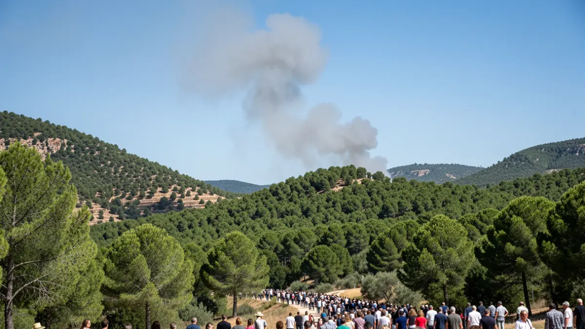
Generic image of a column of smoke over a pine forest hillside in Andalusia.
IA

Generic image of a column of smoke over a pine forest hillside in Andalusia.

The fire in Los Gallardos, Almería, spread at a speed of 128 meters per minute, four times higher than normal, and caused the deaths of 13 people.

The fire that occurred in Los Gallardos (Almería) spread at a speed of 128 meters per minute, a figure that quadruples the speed predicted by scientific models for a normal fire. This was detailed by the Vice President of the Junta de Andalucía and Minister of the Presidency, Health, and Emergencies, Antonio Sanz, during his appearance before the Plenary Session of the Andalusian Parliament. This blaze, which turned out to be the deadliest in the province, caused the deaths of 13 people.
Sanz described the event as an "extraordinary, unusual fire, with propagation speeds beyond all logic and without predictable patterns," calling it "a phenomenon that broke" known parameters. The minister dedicated words of remembrance and solidarity to the families of the victims and thanked the efforts of the firefighting operation, including Infoca, the Military Emergencies Unit (UME), the Guardia Civil, and the Emergency Agency, as well as the coordination between the Central Government, the Provincial Council of Almería, and the town councils of Los Gallardos, Bédar, Antas, and Lubrín.
The fire broke out on July 9 at 4:25 PM following the fall of an electrical cable. Within 20 minutes, multiple aerial and ground resources had been mobilized. The Infoca Plan was elevated to level 1 at 7:37 PM, recommending evacuations, and later to level 2 with the intervention of the UME, at which point the first deceased were found.
The burned area is finally estimated at 5,200 hectares, following a measurement cross-referenced by the satellite system Copernicus, lower than the 7,000 hectares initially estimated. The fire is under control, although not officially extinguished, and the investigation into its causes is ongoing by the forest ranger brigade, the Guardia Civil, and the investigating court.
Regarding the absence of the mass alert Es-Alert, Sanz explained that experts considered it inappropriate given the heterogeneity of the situation, with evacuation and confinement zones coexisting. A generic alert could have caused unnecessary displacement and increased risk.