AlmeríaCádizCórdobaGranadaHuelvaJaénMálagaSevillaAlpujarra AlmerienseLos VélezComarca Metropolitana de AlmeríaFilabres-TabernasLevante AlmeriensePoniente AlmerienseValle del AlmanzoraBahía de CádizCampiña de JerezCampo de GibraltarCosta NoroesteLa JandaSierra de CádizAlto GuadalquivirCampiña de BaenaCampiña Sur CordobesaLos PedrochesCórdoba (comarca)SubbéticaValle del GuadiatoValle Medio del GuadalquivirAlpujarra GranadinaComarca de AlhamaComarca de BazaComarca de GuadixComarca de HuéscarComarca de LojaCosta GranadinaLos MontesValle de LecrínVega de GranadaEl AndévaloEl Condado de HuelvaCosta OccidentalCuenca MineraComarca Metropolitana de HuelvaSierra de HuelvaÁrea Metropolitana de JaénCampiña de JaénEl Condado (Jaén)La LomaSierra de CazorlaSierra MáginaSierra MorenaSierra de SeguraSierra Sur de JaénLas VillasComarca de AntequeraLa AxarquíaGuadaltebaCosta del Sol OccidentalMálaga Costa del SolNorormaValle del GuadalhorceSerranía de RondaSierra de las NievesAljarafeBajo GuadalquivirCampiña de CarmonaCampiña de Morón y MarchenaComarca de ÉcijaComarca Metropolitana de SevillaSierra Norte de SevillaSierra Sur de SevillaVega del GuadalquivirAlmeríaCádizCórdobaGranadaHuelvaJaénMálagaSevillaAlpujarra AlmerienseLos VélezComarca Metropolitana de AlmeríaFilabres-TabernasLevante AlmeriensePoniente AlmerienseValle del AlmanzoraBahía de CádizCampiña de JerezCampo de GibraltarCosta NoroesteLa JandaSierra de CádizAlto GuadalquivirCampiña de BaenaCampiña Sur CordobesaLos PedrochesCórdoba (comarca)SubbéticaValle del GuadiatoValle Medio del GuadalquivirAlpujarra GranadinaComarca de AlhamaComarca de BazaComarca de GuadixComarca de HuéscarComarca de LojaCosta GranadinaLos MontesValle de LecrínVega de GranadaEl AndévaloEl Condado de HuelvaCosta OccidentalCuenca MineraComarca Metropolitana de HuelvaSierra de HuelvaÁrea Metropolitana de JaénCampiña de JaénEl Condado (Jaén)La LomaSierra de CazorlaSierra MáginaSierra MorenaSierra de SeguraSierra Sur de JaénLas VillasComarca de AntequeraLa AxarquíaGuadaltebaCosta del Sol OccidentalMálaga Costa del SolNorormaValle del GuadalhorceSerranía de RondaSierra de las NievesAljarafeBajo GuadalquivirCampiña de CarmonaCampiña de Morón y MarchenaComarca de ÉcijaComarca Metropolitana de SevillaSierra Norte de SevillaSierra Sur de SevillaVega del Guadalquivir

Granada registers 348 earthquakes since August 14

The strongest quake, with a magnitude of 5, was centered in Alhendín and felt in over 500 towns across four autonomous communities.

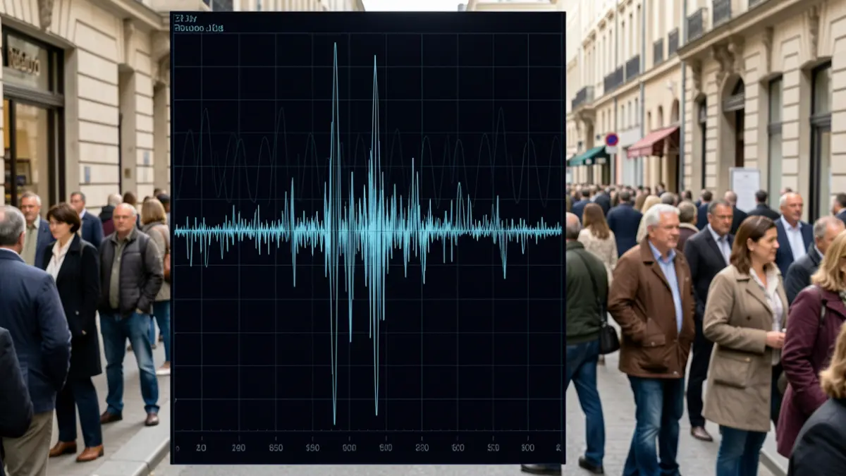
Seismograph reading with a sharp spike indicating an earthquake.
IA

Seismograph reading with a sharp spike indicating an earthquake.

The Granada Metropolitan Area has experienced a total of 348 seismic movements since August 14, according to the National Geographic Institute (IGN).

The most significant tremor in this series occurred at 1:04 AM on Saturday, August 15, with its epicenter in Alhendín, approximately twelve kilometers from the provincial capital. This earthquake reached a magnitude of five degrees on the Richter scale. It was followed by a second movement of 3.6 degrees at 6:34 AM that same morning, centered in Gójar, also near the city.
The vast majority of the 348 recorded seismic events have been of low magnitude, below two degrees, and occurred at very shallow depths, less than ten kilometers. Of these, the report from the agency, which falls under the Ministry of Transport and Sustainable Mobility, highlights that 37 were felt by the population.
The main earthquake, according to the report, was felt in over 500 towns. The impact was concentrated mainly in central and eastern Andalusia, but perceptions were also registered in some areas of the Region of Murcia, southern Castilla La Mancha, and even the Community of Madrid.
The IGN has received more than 12,000 questionnaires from citizens regarding the strong tremor originating in Alhendín. The damages and effects resulting from this event continue to be reviewed by the Seismic Network personnel, which will allow for the updating of the movement's intensity—a concept distinct from magnitude—as more information is gathered.
It is important to differentiate between magnitude and intensity. Magnitude measures the total energy released at the earthquake's focus, while intensity refers to the damage caused. For this reason, the IGN has re-evaluated the magnitude of the most significant tremor in the series, the Alhendín event, to 4.8 degrees instead of the initial 5, and this figure could be adjusted based on observed effects.
The seismic moment tensor (TMS) provides data on the responsible fault's mechanism and a more reliable measure of the earthquake's size, known as moment magnitude (Mw). The TMS calculated by the IGN for the main earthquake and a preceding one of 3.7 degrees at 7:43 PM indicate normal fault mechanisms, consistent with the area's active tectonics. These are framed between the Dílar faults to the south, the Granada fault to the east, and the Belicena-Alhendín fault to the west.
The seismic stations closest to the epicenters are those in Armilla, Churriana de la Vega, and Dílar, located just a few kilometers away. Additionally, the IGN collaborates with the Andalusian Institute of Geophysics (IAG), which shares data from its seven seismic stations in the region. To enhance monitoring capabilities, the IGN has deployed two portable seismic stations in the epicentral area.