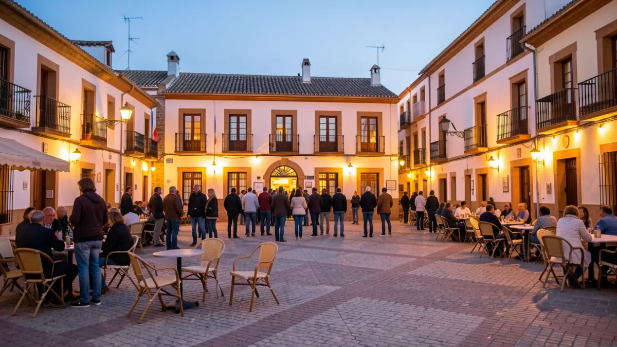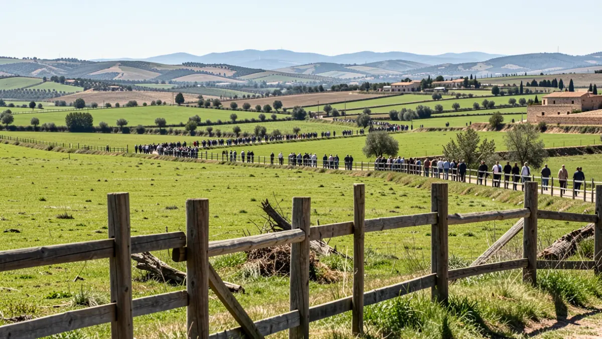
For the third consecutive year, Aguasvira has launched a free hiking program designed to bring participants closer to the natural, historical, and cultural environment of the municipalities in the northern metropolitan area of Granada. The initiative includes six routes to be held between May, September, and October, allowing participants to discover unique spots in the region through historic paths, acequias (water channels), and agricultural landscapes emblematic of the Vega.
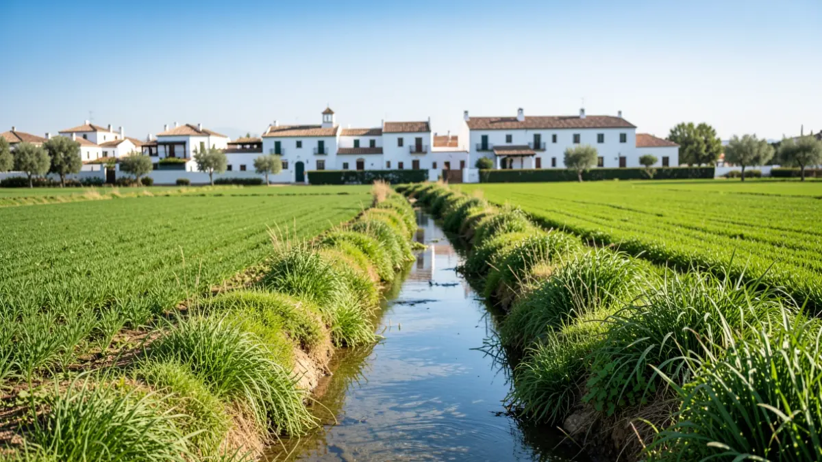
The trails proposed by Aguasvira wind through tree-lined avenues, traditional crops, and lush vegetation, connecting various ecosystems historically linked to water. A central element of these routes is the network of acequias of Andalusian origin, which has been crucial for the area's agricultural development for centuries and remains a key feature of the landscape and Granada's hydraulic heritage. The activity also highlights the importance of river systems and water infrastructure for sustainable water supply and management.
The program features visits to iconic locations such as the Fuente de la Reina in Santa Fe, the Acequia de Aynadamar, and the Puente de los Suspiros in Fuente Vaqueros. It also includes explorations of sites with significant heritage and landscape value, like the Hermitage of Los Tres Juanes and the Torreón of Albolote, the archaeological site of Medina Elvira, and the Torre de Roma between Chauchina and Cijuela, blending history, nature, and agricultural tradition.
Following the May excursions, the schedule will resume on September 13th and 27th, and October 4th and 25th. Interested individuals can request a spot by calling 958 43 44 25, with a maximum of two registrations per person and a limit of 30 participants per route. The minimum age for participation is 14 years.
This initiative goes beyond mere hiking, aiming to highlight the environmental and cultural value of the Vega, a historical agricultural and social engine of Granada. The routes offer a unique opportunity to rediscover spaces often overlooked by locals and to understand how water has shaped the territory, economy, and history of much of the province.