The World Meteorological Organization (WMO) has confirmed that the meteorological phenomenon 'El Niño' is developing and will influence global temperature and precipitation patterns in the coming months. The State Meteorological Agency (Aemet) has explained the nature of this phenomenon and its potential impact on Spain.
Regarding the province of Malaga, Aemet emphasizes that there is no direct relationship between the influence of 'El Niño' and the territory. The atmospheric patterns governing weather in the Iberian Peninsula are described as "very varied," making it difficult to establish a clear connection.
'El Niño' is characterized by the warming of surface waters in the equatorial Pacific due to the weakening of trade winds. This warming alters usual atmospheric patterns, potentially causing droughts or floods in various regions and an increase in the global average temperature of "a few tenths of a degree," according to Aemet.
Although 'El Niño' can have "significant" effects in areas far from its origin, Aemet stresses that in Spain, there is "no clear and direct correlation" with its effects. Some studies suggest a possible correlation with rainier autumns and winters, but this is neither constant nor exclusive.
The temperature forecasts for this summer in Malaga will also not be significantly affected by 'El Niño', as the phenomenon is in an incipient phase and the local climate is modulated by "many other factors." In summary, the influence of 'El Niño' on the weather in Malaga and Spain is considered less significant compared to other regions worldwide.
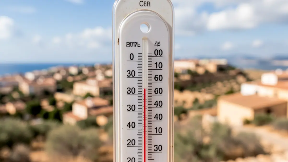
Regarding the summer forecast for the Peninsula, Aemet anticipates temperatures "warmer than normal" and "more storms." In the southern zone, including the province of Malaga, the upper temperature percentile is above 50%. As for rainfall, the eastern half of the province might experience "more storm episodes than usual," although this does not guarantee large amounts of rain.
The province of Malaga has already experienced its first episode of heat and 'terral' wind in early June, with yellow alerts for high temperatures. A return of 'terral' was expected, followed by a decrease to more normal values.