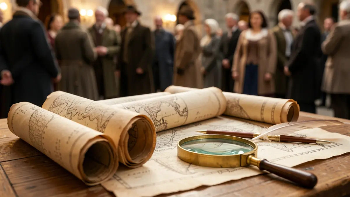
The agreement will allow for the cataloging and public dissemination of several hundred documents from the 19th and 20th centuries through the IECA's platform, ‘Cartoteca. Cartografía histórica de Andalucía’. According to the mayoress, Pilar Miranda, this collection is of "extraordinary interest for understanding the historical, urban, and territorial evolution of the city".
The director of IECA, Manuel Ignacio Castaño, highlighted the importance of materials such as those produced by the French engineer Ernest Deligny concerning the Tharsis mining, as well as maps of the provincial territory and significant urban planning and infrastructure projects that have shaped the current city.
Among the documents are plans showing the urban, industrial, and port development of Huelva between 1870 and the early decades of the 20th century, as well as the population's appearance from its origins to the urban planning initiatives of the 1940s, featuring figures like Alejandro Herrero.
The Municipal Archive's cartographic collection also holds neighborhood planning and plans for key buildings such as the City Hall, the bullring, or the historic market, with works by architects like Pérez Carasa.
These cartographic funds will be accessible through the IECA's Cartoteca portal, which has introduced a new search engine to facilitate access for researchers and those interested in Andalusian history and cartography. The resource currently holds 160,000 cartographic documents dating before 1970.