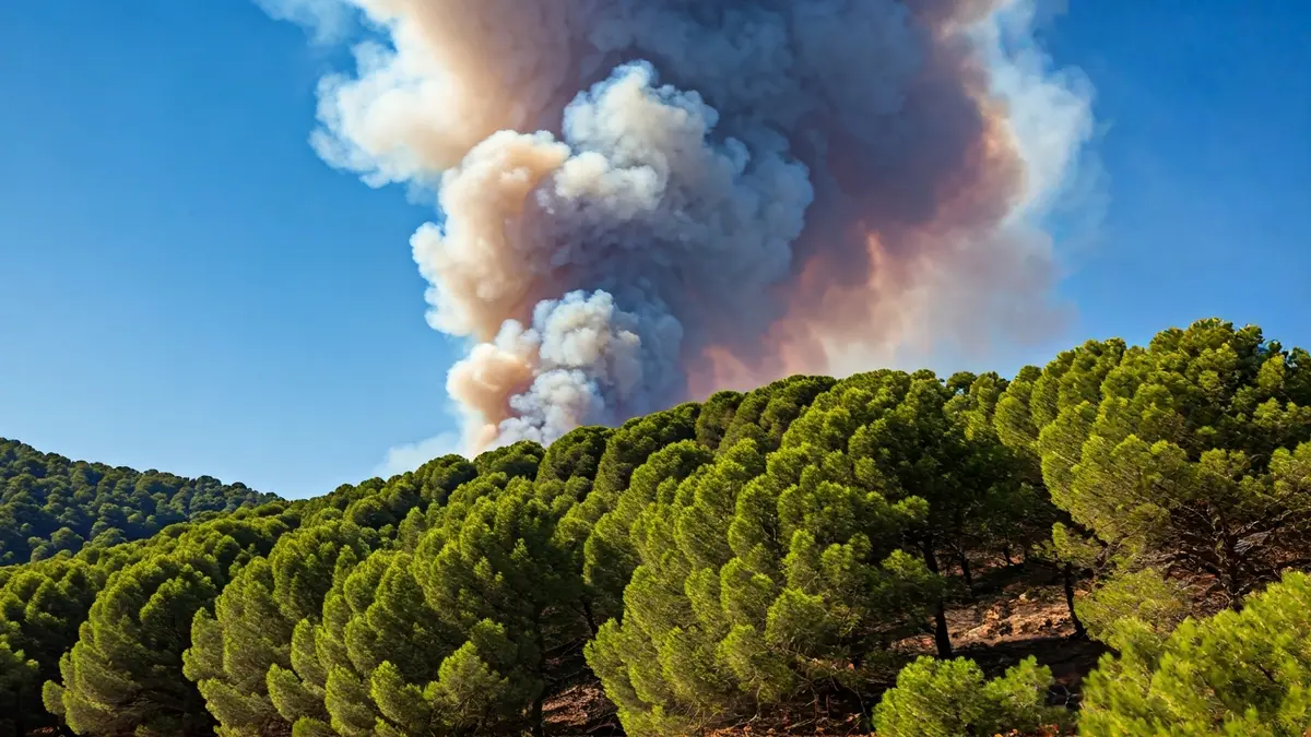
The forest fire that erupted in August 2024 near Peña Escrita, in the town of La Herradura, emerged as one of the most critical incidents of the summer season on the Granada coast. The sheer scale of the blaze, its rapid spread, and the severe impact on the local ecosystem and agriculture marked a turning point for the municipality, with its consequences still felt today.
The flames ignited on the evening of August 13, close to the Peña Escrita road, immediately triggering widespread alarm. Over a hundred calls to the 112 emergency service activated a large-scale operation by the Infoca Plan. From the outset, firefighting efforts were complicated by adverse weather conditions and the challenging terrain, characterized by steep and inaccessible areas.
The fire spread rapidly, fueled by wind gusts reaching up to 80 kilometers per hour, which hindered firefighting operations and necessitated continuous reinforcement of personnel. At its peak, 170 ground personnel and more than a dozen aerial resources worked tirelessly to contain the advancing flames.
For several days, the wildfire kept the population on edge. The Junta de Andalucía declared a pre-emergency phase, and several residents were preventively evacuated. A 57-year-old woman received medical attention for smoke inhalation. The situation began to stabilize on the night of August 14, after more than 48 hours of intense work, and the fire was finally brought under control days later, leading to mop-up operations to prevent rekindling.
Nearly 600 hectares burned between the areas of El Cerval and El Rescate, in the mountains of La Herradura, making it one of the most significant fires of that summer in the province.
The final toll was devastating: approximately 600 hectares scorched between El Cerval and El Rescate, in the mountains of La Herradura, making it one of the most significant fires of that summer in the province. The affected area included both forest and agricultural land, with about 160 hectares of subtropical crops, mainly mango and avocado, completely destroyed.
Beyond the environmental damage, the fire had a profound economic and social impact. Although some farmhouses were saved, numerous farmers saw years of hard work vanish in a matter of hours, with farms severely damaged and irrigation systems rendered unusable. This was compounded by the loss of future production, especially for crops that require several years to reach full yield.
In the days following the incident, authorities announced support measures and sought funding to help those affected recover their farms. However, administrative complexity and the need to coordinate various competencies have delayed the effective arrival of much of this aid. Some farmers have had to bear the cost of recovering their properties themselves, replanting and repairing infrastructure, due to the delay in receiving the promised funds.