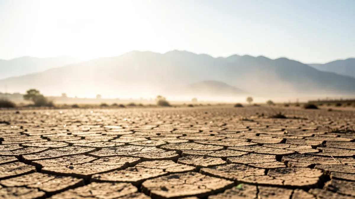
After a brief respite, Granada is preparing for an intense heat episode. The arrival of a warm air mass from the Sahara will push thermometers up again, surpassing 40 degrees in much of the province and creating an increasingly suffocating atmosphere.
According to Meteored, this situation is caused by the entry of Saharan air with suspended dust, which will lead to a thermal rise and the possible appearance of calima in the southern and eastern peninsular regions.
The State Meteorological Agency (AEMET) forecasts a progressive increase. In the capital, this Wednesday, temperatures will reach 39 degrees with a low of 20. From Thursday onwards, maximums will hit 40 degrees and minimums 22, values expected to repeat on Friday.
The weekend will be more extreme, with maximums potentially reaching 41 degrees on Saturday and Sunday. Nights will offer little relief, with lows around 25 degrees, leading to new tropical nights. Some cloudy intervals are also expected throughout the week, though they won't halt the temperature rise.
In addition to the heat, the influx of African air may bring suspended dust, reducing visibility and worsening air quality, especially for individuals with respiratory issues. Meteored experts note this will also contribute to warmer nights.
While heat will dominate, atmospheric instability will not disappear entirely. Meteored does not rule out storms in mountainous areas during the latter half of the week, some with strong wind gusts or hail. AEMET maintains a scenario of heat and stability in Granada, with developing cloudiness.
Medium-term forecasts offer little optimism for those hoping for a temperature drop. Meteored indicates this new surge of very warm air could persist beyond the weekend, maintaining high values across much of the southern peninsula. For Granada, the trend is expected to continue next Monday, with highs near 41 degrees and lows around 25.