AlmeríaCádizCórdobaGranadaHuelvaJaénMálagaSevillaAlpujarra AlmerienseLos VélezComarca Metropolitana de AlmeríaFilabres-TabernasLevante AlmeriensePoniente AlmerienseValle del AlmanzoraBahía de CádizCampiña de JerezCampo de GibraltarCosta NoroesteLa JandaSierra de CádizAlto GuadalquivirCampiña de BaenaCampiña Sur CordobesaLos PedrochesCórdoba (comarca)SubbéticaValle del GuadiatoValle Medio del GuadalquivirAlpujarra GranadinaComarca de AlhamaComarca de BazaComarca de GuadixComarca de HuéscarComarca de LojaCosta GranadinaLos MontesValle de LecrínVega de GranadaEl AndévaloEl Condado de HuelvaCosta OccidentalCuenca MineraComarca Metropolitana de HuelvaSierra de HuelvaÁrea Metropolitana de JaénCampiña de JaénEl Condado (Jaén)La LomaSierra de CazorlaSierra MáginaSierra MorenaSierra de SeguraSierra Sur de JaénLas VillasComarca de AntequeraLa AxarquíaGuadaltebaCosta del Sol OccidentalMálaga Costa del SolNorormaValle del GuadalhorceSerranía de RondaSierra de las NievesAljarafeBajo GuadalquivirCampiña de CarmonaCampiña de Morón y MarchenaComarca de ÉcijaComarca Metropolitana de SevillaSierra Norte de SevillaSierra Sur de SevillaVega del GuadalquivirAlmeríaCádizCórdobaGranadaHuelvaJaénMálagaSevillaAlpujarra AlmerienseLos VélezComarca Metropolitana de AlmeríaFilabres-TabernasLevante AlmeriensePoniente AlmerienseValle del AlmanzoraBahía de CádizCampiña de JerezCampo de GibraltarCosta NoroesteLa JandaSierra de CádizAlto GuadalquivirCampiña de BaenaCampiña Sur CordobesaLos PedrochesCórdoba (comarca)SubbéticaValle del GuadiatoValle Medio del GuadalquivirAlpujarra GranadinaComarca de AlhamaComarca de BazaComarca de GuadixComarca de HuéscarComarca de LojaCosta GranadinaLos MontesValle de LecrínVega de GranadaEl AndévaloEl Condado de HuelvaCosta OccidentalCuenca MineraComarca Metropolitana de HuelvaSierra de HuelvaÁrea Metropolitana de JaénCampiña de JaénEl Condado (Jaén)La LomaSierra de CazorlaSierra MáginaSierra MorenaSierra de SeguraSierra Sur de JaénLas VillasComarca de AntequeraLa AxarquíaGuadaltebaCosta del Sol OccidentalMálaga Costa del SolNorormaValle del GuadalhorceSerranía de RondaSierra de las NievesAljarafeBajo GuadalquivirCampiña de CarmonaCampiña de Morón y MarchenaComarca de ÉcijaComarca Metropolitana de SevillaSierra Norte de SevillaSierra Sur de SevillaVega del Guadalquivir

Niebla Fire Stabilized: Evacuees Return Home

The President of the Junta de Andalucía announces the end of Level 2 emergency and the reopening of roads after ten days of fighting the flames.

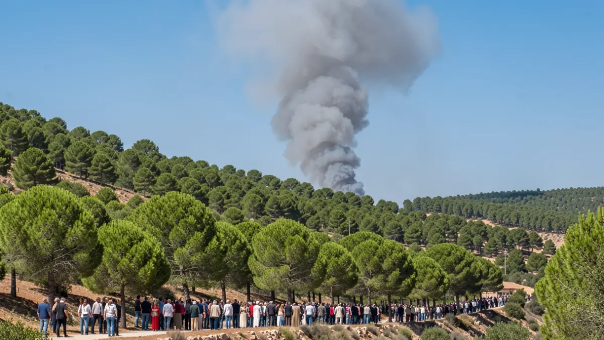
Generic image of smoke rising from a forest in Andalusia.
IA

Generic image of smoke rising from a forest in Andalusia.

The fire declared in the Raboconejo area, in Niebla, has been stabilized after ten days of activity, allowing the return of 417 evacuated people and the de-escalation to Emergency Level 1.

After ten days of uninterrupted struggle against the flames, the fire declared on August 6th in the Raboconejo area, in Niebla, has been stabilized. The fire, which initially affected over 38,000 hectares within a 210-kilometer perimeter, has pushed firefighting teams to their limits.
The President of the Junta de Andalucía, Juanma Moreno, announced this Sunday from the Advanced Command Post the stabilization of the fire and the proposal for the return of the 417 people who remained preventively evacuated to their homes. This decision allows the resettlement of residents from the eleven affected municipalities, marking a step towards "news of normality" after weeks of uncertainty.
The stabilization occurs after 36 consecutive hours of surveillance without new outbreaks. The Special Civil Protection Plan for Forest Fire Emergencies moves from Level 2 to Level 1, which involves the withdrawal of the Military Emergencies Unit (UME).
Moreno described the fire as "probably one of the most complicated of the last decade" and the most complex faced by Andalusia, calling it a "beast" for its constant aggressiveness.
Despite the stabilization, "caution" is maintained due to the possibility of occasional smoke columns from hot spots within the perimeter, especially with wind. Teams will remain prepared to intervene in case of any recurrence, and final extinction is expected in several weeks.
The affected area might be less than the initially estimated 38,000 hectares, as "islands" of intact vegetation have been found within the perimeter. The final figure will be determined by the European Copernicus satellite system.
The President thanked the coordination between the Government of Spain, the Junta de Andalucía, the Provincial Council of Huelva, and the town councils, as well as the work of firefighters, technicians, mayors, volunteers, and organizations like World Central Kitchen.