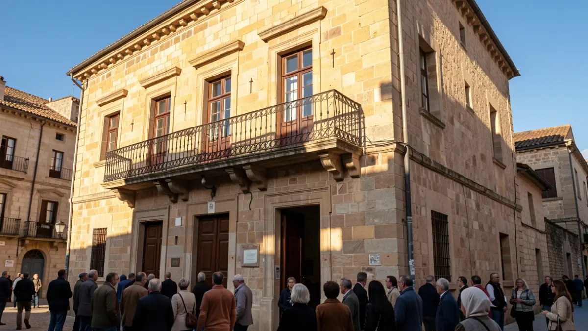
The Casares City Council is progressing with the development of its Flood Risk Plan, an instrument designed to organize the municipal response to flood events and enhance population safety. The technical and government teams held a meeting to review the work and specify action procedures.
The plan identifies the most problematic points in Casares Pueblo, Casares Costa, Secadero, and scattered settlements, with particular attention to areas affected by the storms of the past winter. The mapping of flood-prone areas is being reviewed, including the update by the Junta de Andalucía, and the need to expand the areas covered by the municipal plan is being assessed.
The study also includes reviewing roads and access routes to scattered settlements that could become isolated, to foresee alternatives and plan evacuations. Work centers such as the industrial estate, the waste treatment plant, and the agricultural areas of Secadero are being analyzed to determine how to act and organize the evacuation of their occupants if necessary.
Furthermore, potential spaces for accommodating evacuated individuals and providing healthcare in emergencies are being identified. The Flood Risk Plan is being developed in conjunction with the Territorial Emergency Plan to define responsibilities and establish coordinated action protocols among the various involved services.
In parallel, the City Council is carrying out cleaning work with specialized machinery in Casares Pueblo, Secadero, and Casares Costa, in addition to cleaning and clearing streams. The acquisition of dewatering pumps, a satellite internet system, and other support materials for emergencies is planned to enhance municipal intervention capacity and maintain communications in adverse situations.
Driven by its own initiative following the experience of the past winter, the plan aims to anticipate and have planning in place for a coordinated response to protect the population.