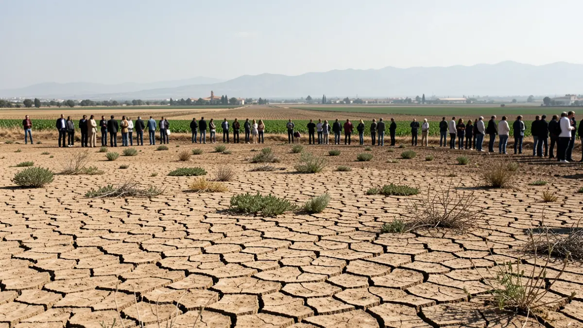
The Guadalquivir Hydrographic Confederation (CHG), an organization under the Ministry for Ecological Transition and Demographic Challenge, has reported a sustained decrease in the area dedicated to illegal irrigation of plastic-covered crops near Doñana. This progress is the result of reinforced control and governance actions by the CHG.
Semi-annual monitoring using Sentinel 2 images shows that out-of-order plots have significantly decreased from 1,113 hectares in 2017 to 330 hectares in 2026, representing an accumulated reduction of more than 70%. The greatest pressure is concentrated in the La Rocina water body, where the CHG has intensified its control efforts.
The volume of water associated with these irregular areas has also dropped considerably, with illegal extractions reduced from over 5 hm³/year to 1.49 hm³/year. This advancement is directly linked to intensified inspections and the closure of illegal water intakes, with 847 wells having been shut down to date.
Furthermore, dozens of precautionary measures have been applied, totaling 124 sealed wells and 17 sealed reservoirs in high-pressure zones. Recent actions include the closure of three wells hidden under concrete structures and the draining of a reservoir that supplied 7.25 hectares of irregular irrigation, consolidating the recovery of the hydrogeological system.
Piezometric control has been significantly reinforced with the complete automation of the network, which features 190 sensorized control points for continuous data and early alerts on aquifer behavior. The monitoring network has been expanded and improved, with enhanced surveillance in high-pressure areas, particularly in La Rocina and Almonte.
Regarding water supply, environmental processing continues for the relocation and optimization of Matalascañas boreholes, aimed at reducing their impact on the National Park and ensuring more sustainable supply. These actions are complemented by infrastructure improvements and water efficiency measures in the tourist hub.
These intensive monitoring measures are integrated into the governance framework activated after the La Rocina, Almonte, and Marismas water bodies were declared at risk of not achieving good status, legally obligating the establishment of their respective Groundwater Users' Communities (CUMAS).
The CUMA of La Rocina is now fully operational, having approved a 15% reduction in extractions. For the 2026-2027 campaign, a restriction-free period is anticipated thanks to aquifer recharge, further aided by the reduction in illegal irrigation areas.
The CUMA of Almonte is in an advanced electoral phase, awaiting the final census publication and voting date. The CUMA of Marismas is progressing through administrative procedures. The establishment of these three communities is essential to the CHG's governance model, promoting self-regulation and sector awareness.
Concurrently, the CHG is applying a similar strategy in the Baza region (Granada) to control the proliferation of almond and pistachio irrigated crops. Since 2022, thousands of hectares have been inspected, revealing hundreds of hectares of illegal irrigation, wells, and reservoirs.
In 2024, two inspection plans were carried out in the Guadiana Menor-Baza region, detecting illegal irrigation for horticultural and nut crops. A multi-year plan for 2025-2026 includes 57 inspections covering 2,181 hectares of illegally irrigated almond and pistachio, confirming the effectiveness of the intensive control model.
In this basin area, steps are also being initiated to establish the CUMA of Baza, with an initial meeting held with irrigators to guide the census process.