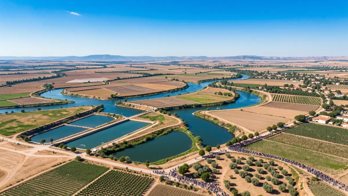
This tool is designed to guide the priority location of new water uses, identifying areas compatible with treated water uses, priority areas for reuse, and those where water resource substitution is planned. It also distinguishes between areas for full water reuse or aquifer recharge.
The cartography was developed based on technical and environmental criteria established in Royal Decree 1085/2024, which approves the Water Reuse Regulations, and the Public Hydraulic Domain Regulations. Aspects considered include maintaining ecological flow rates, protecting downstream uses, and environmental compatibility.
The CHG plans to soon publish the call for applications for the reserve of 20 hm³ of treated water included in the Guadalquivir Hydrographic Plan 2022-2027. Publication in the Official State Gazette (BOE) will open a six-month period for submitting applications and projects.
The cartographic information can be consulted and downloaded in various formats (shapefile, KML, or GeoJSON) via the IDE-CHG. During the first ten months of 2026, this platform registered 20,000 active users and provided 127 layers of geographic information.