The province of Almería, historically marked by devastating earthquakes such as the one in the capital in 1522, continues to register almost daily seismic activity. A recent analysis by the U.S. National Seismic Information Center (NEIC) has mapped these seismic movements from 1970 to the present, identifying key points of concentration.
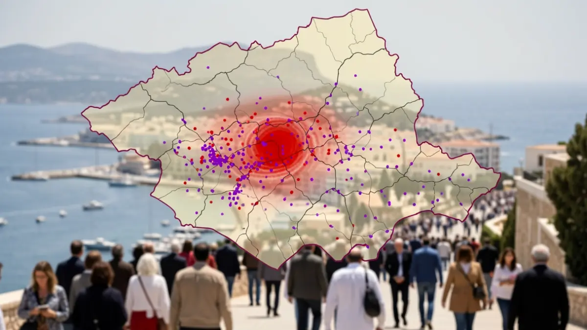
The NEIC's 'Interactive Earthquake Browser' tool, which records millions of seismic events worldwide, highlights three main areas in Almería with a notable accumulation of seismic activity over the last half-century. These zones are distinguished by the presence of numerous purple dots on the map, each representing a recorded earthquake.
Firstly, the map emphasizes the area encompassing the Mediterranean Sea along with the towns of Berja and Adra. Another zone of high seismic activity is located in the Tabernas Desert and its surroundings, including Gérgal, where the magnitude and frequency of tremors pose a significant risk.
Lastly, the region encompassing municipalities such as Macael or Tíjola has shown intense seismic activity in recent months, confirming its 'tradition' of earthquakes within the province. Despite these records, Almería does not compare to the global seismic activity, which is concentrated in the Pacific Ring of Fire.