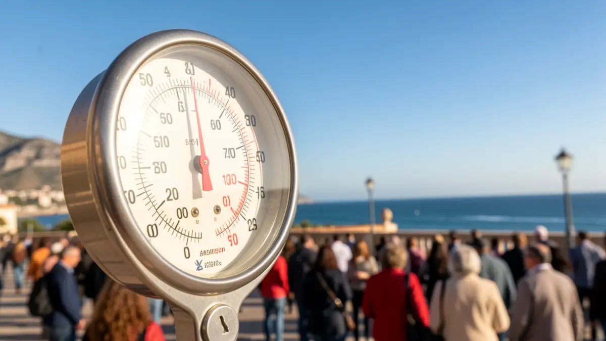
A 'mini-summer' is looming over Huelva, bringing with it a sharp increase in temperatures reminiscent of peak summer. The State Meteorological Agency (Aemet) has predicted days of intense heat, particularly on Monday and Tuesday, when thermometers could reach highs of up to 35 degrees Celsius across the territory.
On Sunday, maximum temperatures are expected to hover around 29 degrees Celsius, with lows of about 17 degrees. Skies will remain mostly clear, although scattered clouds might appear in the afternoon. Light southwesterly winds are anticipated, gaining some intensity towards the end of the day. The combination of pleasant temperatures and sea breeze will create a comfortable thermal sensation in coastal areas.
Monday will mark a significant thermal rise, pushing maximum temperatures to 35 degrees Celsius, while minimums will settle around 18 degrees. Winds will blow from the southwest with mild intensity. Aemet warns of a maximum ultraviolet index of 10 out of 11, cautioning of a very high risk of sun damage without protection. The use of sunscreen, sunglasses, and hats is recommended, especially during the central hours of the day. The heat will be felt more intensely in urban areas and inland parts of the province.
The elevated temperatures will persist on Tuesday, with highs again reaching 35 degrees Celsius and minimums remaining unchanged. Skies will be completely clear, and the northwest wind will be barely noticeable. For Wednesday, a temporary drop to 28 degrees is anticipated, but forecasts suggest that maximums will once again exceed thirty degrees Celsius on Thursday. If current predictions are confirmed, Huelva will experience several consecutive days with summer-like values, heralding a warm and stable start to June.